Memorials to Anzacs from the Mildura and Wentworth Districts
Introduction
The major memorial in Mildura is the Henderson Park Honour Rolls, including the World War 1 Honour Roll which was completed in 2009. There are also a number of other memorials in the district that pre-dated the Henderson Park Honour Rolls and these local memorials are featured below.
The Australian War Memorial Roll of Honour and the Ballarat Avenue of Honour have been included as they represent places were Mildura and Wentworth district soldiers are honoured and remembered.
The sites on the Western Front for the Division Memorials were chosen by the men themselves as places that represented significant feats of fighting for their Division.
Various other memorials on the Western Front were visited and are described below.
Memorials in Australia
Mildura – Henderson Park Honour Rolls
Mildura RSL in recent years has honoured those who have served by erecting the 1939-1975 Honour Roll (completed in 1999), the World War I Honour Roll and Samuel Pearse V.C. MM Statue (completed in 2009).
Location
201-211 Deakin Avenue, Mildura
Go there on Google maps
(Latitude: -34.1913130 and Longitude: 142.1537060)
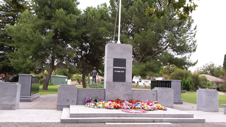
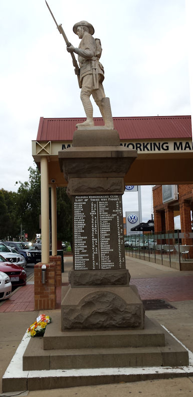
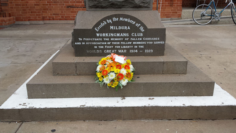
Mildura – Workingmans Club War Memorial
The War Memorial commemorates the members of the Workingmans Club who served in World War One.
Location
90-124 Deakin Avenue, Mildura
Go there on Google maps
(Latitude: -34.1874440 and Longitude: 142.1601820)
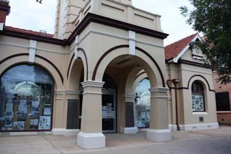
Mildura – Carnegie Library Honour Roll
This honour roll records the names of service personnel in the First World War. Its last known location is the Carnegie Library, now known as the Carnegie Centre.
Location
Carnegie Centre, 74 Deakin Avenue, Mildura
Go there on Google maps
(Latitude: -34.1863050 and Longitude: 142.1617640)
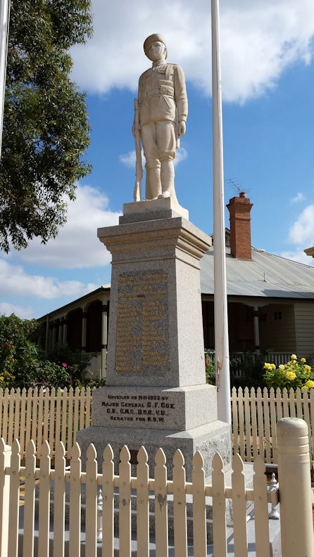
Wentworth – Wentworth Statue
White marble statue of an Australian First World War soldier atop a granite plinth engraved with the names of those who gave their lives during the First World War. The Memorial was unveiled in 1922 by Major General ('Fighting Charlie') Cox, commander of the 1st Australian Light Horse Brigade.
Location
Cnr Darling St & Sandwych St, Wentworth NSW
Go there on Google maps
(Latitude: -34.1067370 and Longitude: 141.9190190)
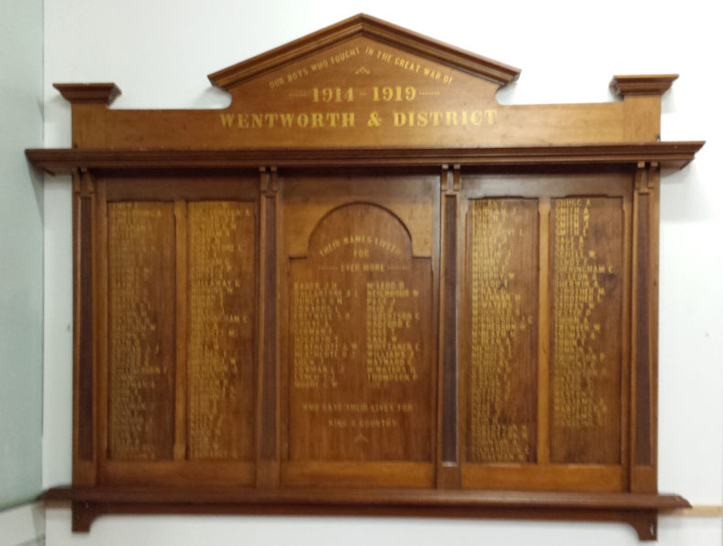
Wentworth – Wentworth RSL Honour Roll
A wooden board that records the names of service personnel in the First World War. It's last known location is the Wentworth RSL sub-branch.
Location
Grande Resort, Darling St, Wentworth, NSW
Go there on Google maps
(Latitude: -34.1064730 and Longitude: 141.9199020)
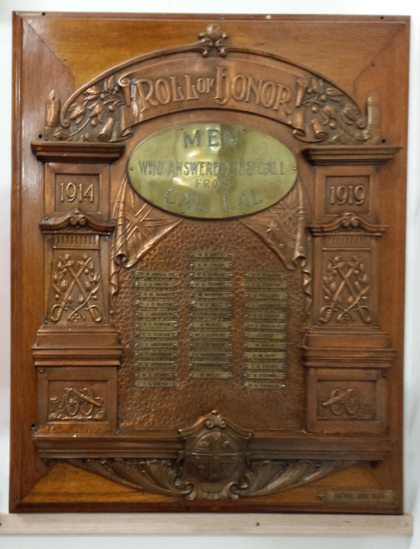
Wentworth – Cal Lal Honour Roll
A beaten copper plaque mounted on a wooden board that records the names of service personnel in the First World War. It's last known location is the Wentworth RSL sub-branch.
Location
Grande Resort, Darling St, Wentworth, NSW
Go there on Google maps
(Latitude: -34.1064730 and Longitude: 141.9199020)
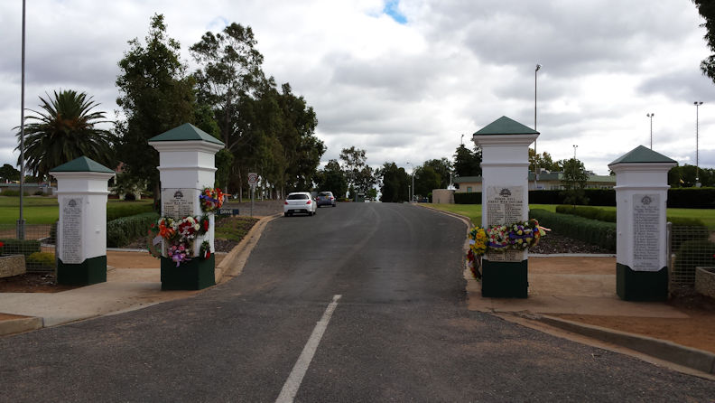
Merbein – Merbein Gates
The gates commemorate those who died or were killed in World War One, World War Two and the Vietnam War.
Location
Kenny Park, ANZAC Drive, Merbein, Vic
Go there on Google maps
(Latitude: -34.1663010 and Longitude: 142.0559990)
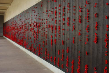
Canberra – AWM Roll of Honour
The Roll of Honour records and commemorates members of the Australian armed forces who have died during or as a result of war service, or for Post-1945 conflicts, warlike service, non-warlike service and certain peacetime operations. It takes the form of bronze panels in the Memorial’s Commemorative Area and the Roll of Honour database.
Location
Top of ANZAC Parade, Campbell, ACT
Go there on Google maps
(Latitude: -35.2807760 and Longitude: 149.1487700)
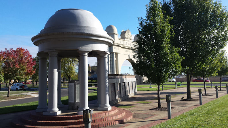
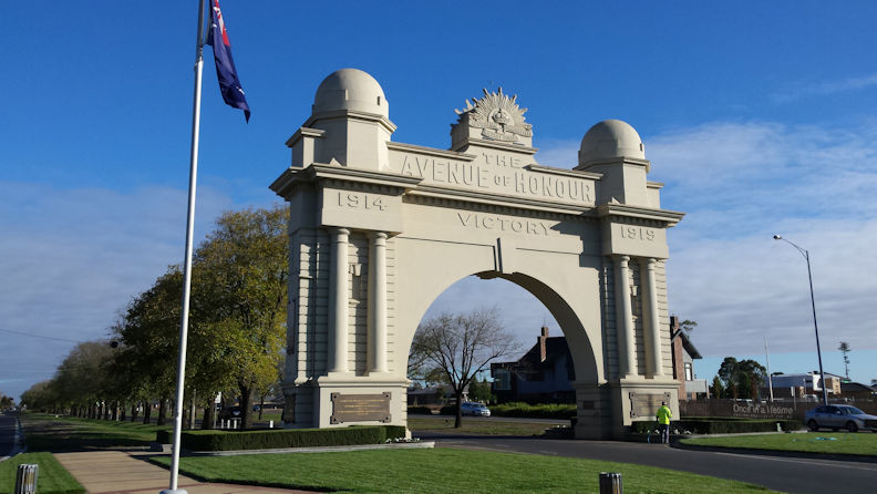
Ballarat – Ballarat Avenue of Honour
The Ballarat Avenue of Honour is famous for being the first avenue of its kind in Australia (perhaps in the world) and the longest of its kind in the southern hemisphere. It incorporates the Ballarat Arch of Victory and extends for approximately 22 kilometres.
Location
Sturt Street, Ballarat, Vic – 22 kms long
Go there on Google maps
(Latitude: -37.5532790 and Longitude: 143.8132650)
Ballarat – Ballarat Arch of Victory
The Arch of Victory is the largest commemorative arch in Australia, and marks the beginning of the Avenue of Honour at its southern end, and the northern end is marked by a Memorial Cairn and Cross of Remembrance. The Arch of Victory (1920) was constructed at the start of the Avenue of Honour to honour those who enlisted as well as commemorating the Allied victory in the Great War.
Location
Cnr Sturt St & Leamonth St, Ballarat, Vic
Go there on Google maps
(Latitude: -37.5532790 and Longitude: 143.8132650)
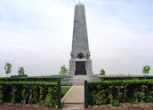
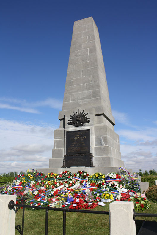
Pozieres – 1st Aust Div
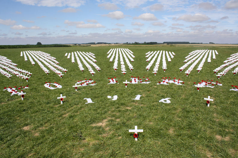
During the last week of July 1916 shells fell in their thousands on Australian soldiers in a village they had captured from the Germans – Pozières. Pozières was reduced to rubble and shattered earth, but here the men of the First Australian Division later built their memorial in France. They remembered the tenacity with which they had held their ground and the comrades who had perished in the horror of those bombardments.
Location
Go there on Google maps
(Latitude: 50.0382130 and Longitude: 2.7214430)
Memorials in Europe
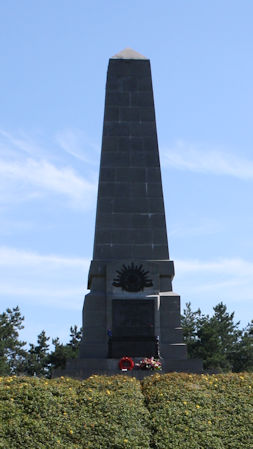
Mont St Quentin – 2nd Aust Div
Between 31 August and 2 September 1918, the AIF 2nd Division attacked and captured the German stronghold of Mont St Quentin, the key to the strategic town of Péronne on the Somme River.
Location
Go there on Google maps
(Latitude: 49.9450410 and Longitude: 2.9354850)
Sailly-Le-Sec – 3rd Aust Div
On the morning of 27 March 1918, the AIF 3rd Division marched up towards this spot from the village of Heilly in the valley of the Ancre just to the north.
Location
Go there on Google maps
(Latitude: 49.9361820 and Longitude: 2.5796200)
Bellenglise – 4th Aust Div
Between 18 and 20 September 1918, the 48th Battalion, Fourth Division AIF, fought its last successful action on the Western Front when they advanced on the Hindenburg Outpost Line near Bellenglise.
Location
Go there on Google maps
(Latitude: 49.9216090 and Longitude: 3.2319550)
Butte Polygon Wood – 5th Aust Div
The butte at Polygon Wood was captured by the men of the Fifth Division at the Battle of Polygon Wood on 26 September 1917 and is the site of the AIF 5th Division Memorial.
Location
Go there on Google maps
(Latitude: 50.8555660 and Longitude: 2.9911780)
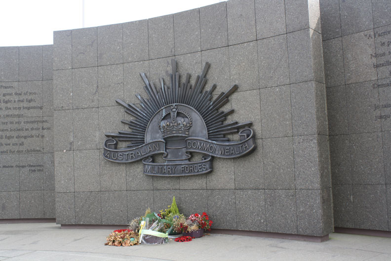
Le Hamel – Aust Corps
Commemorates and interprets the Battle of Hamel fought on 4 July 1918 when the Australian Corps was led for the first time by Lieutenant General John (later Sir John) Monash. It is usually claimed that the battle took 93 minutes.
Location
Go there on Google maps
(Latitude: 49.8986430 and Longitude: 2.5812230)
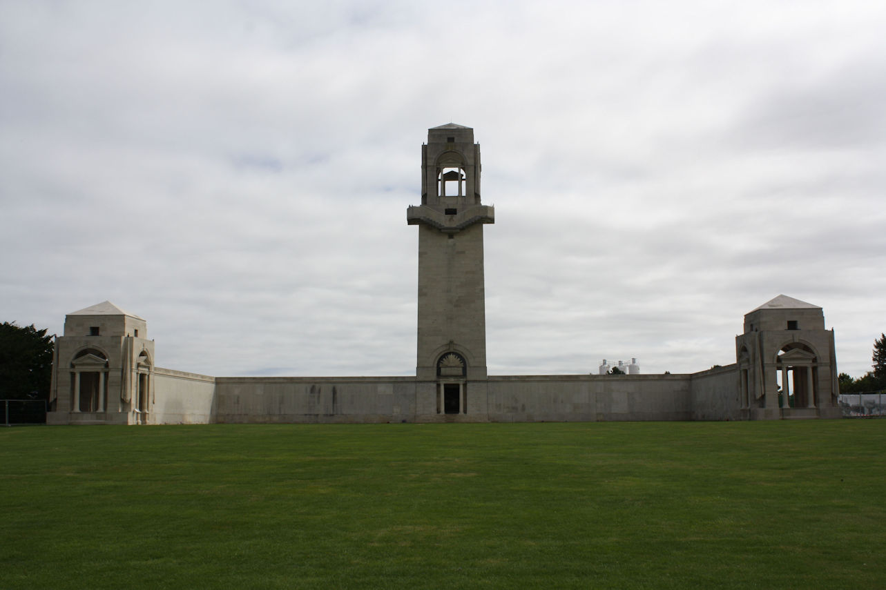
Villers-Bretonneux – Aust National
On 24 April 1918 the Germans, in their advance towards Amiens, seized Villers-Bretonneux. That night, Australian soldiers counter-attacked to the north and south of the town and encircled it, and by the evening of 25 April – Anzac Day – the enemy had been driven out.
Location
Go there on Google maps
(Latitude: 49.8869480 and Longitude: 2.5103120)
Fromelles – Aust Memorial Park
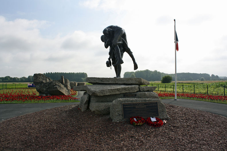
Cobbers statue - In the Battle of Fromelles, the inexperienced 5th AIF Division were sent in to capture German trenches. Five and a half thousand Australians were killed and wounded, making 19 July 1916 the worst day in Australian military history.
Location
Go there on Google maps
(Latitude: 50.6232060 and Longitude: 2.8368790)
Fromelles – VC Corner Cemetery
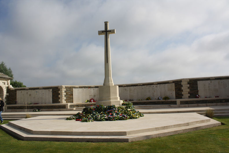
Originally the only memorial to the Battle of Fromelles. The memorial, designed by Sir Herbert Baker, currently commemorates 1,100 Australian casualties.
Location
2 kilometres north-west of Fromelles on the road to Sailly.
Go there on Google maps
(Latitude: 50.6195560 and Longitude: 2.8337060)
Fromelles – Fromelles Military Cemetery
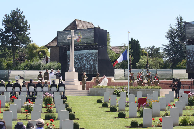
Fromelles (Pheasant Wood) Military Cemetery - found recently after two years of painstaking excavation, recovery and identification work, 250 Australian and British Soldiers killed on the night of 19-20 July 1916 were reinterred with full military honours in individual graves at the
Location
Go there on Google maps
(Latitude: 50.6076548 and Longitude: 2.7811250)
Mouquet Farm – AIF Memorial
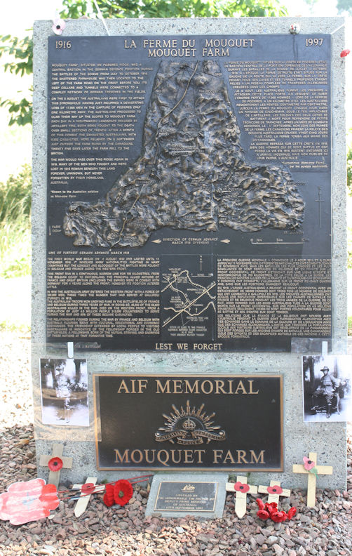
Battle Exploit Plaque - For four weeks, until relieved by the Canadians on 5 September 1916, the men of the First, Second and Fourth Australian Divisions took part in seven major attacks to dislodge the Germans from deep defences at the farm and surrounding trench systems.
Location
Go there on Google maps
(Latitude: 50.0509670 and Longitude: 2.7128080)
Pozieres – Windmill Site
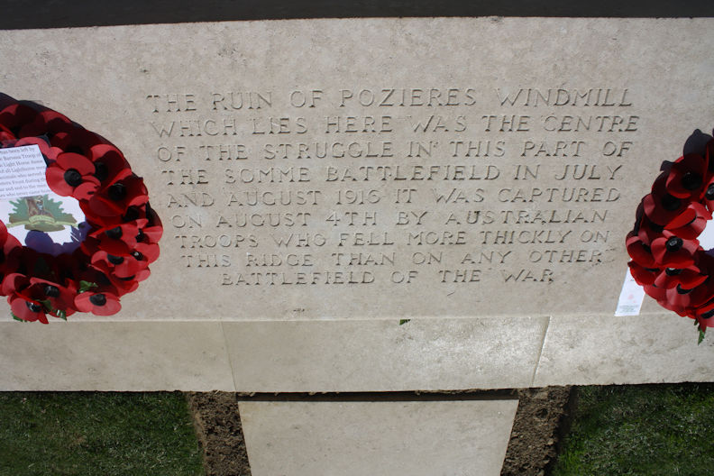
Over seven weeks in 1916, at the Battle of the Somme, the AIF suffered 23,000 casualties, more than 6700 of whom died, in the countryside around the Windmill.
Location
Go there on Google maps
(Latitude: 50.0447940 and Longitude: 2.7365400)
Pozieres – Memorial Park
The Pozieres Remembrance Association are planning to build a Memorial Park as a tribute to the Soldiers who fought and died there. The land selected for the Park is the land between the Water Tower at the North of the Village and 30 meters past the Windmill site along the D929, and from the D929 across to the Courcelette Road.
Location
Go there on Google maps
(Latitude: 50.0450200 and Longitude: 2.7359390)
Bullecourt – Aust Slouch Hat
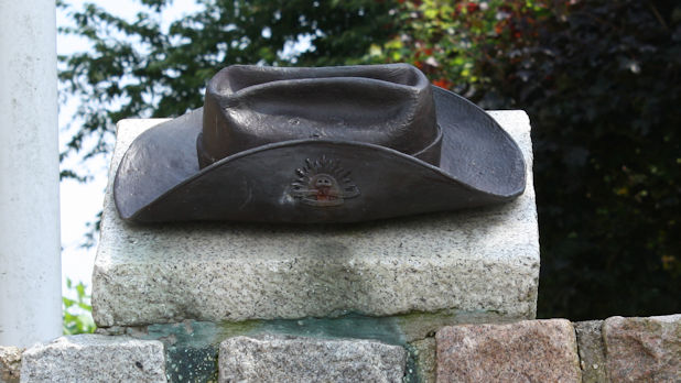
A Bullecourt school teacher, Claude Durand, and the local Mayor started a campaign to build a local memorial and chose an Australian slouch hat - standing for durability. A bronze hat, weighing 7 kg, was made by Victorian sculptor Roy McPherson. The AWM director Noel Flanagan presented it to the village of Bullecourt on 17 September 1981.
Location
Go there on Google maps
(Latitude: 50.1944570 and Longitude: 2.9381130)
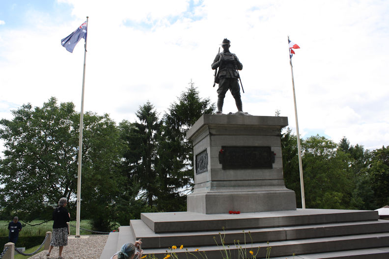
Bullecourt – Digger
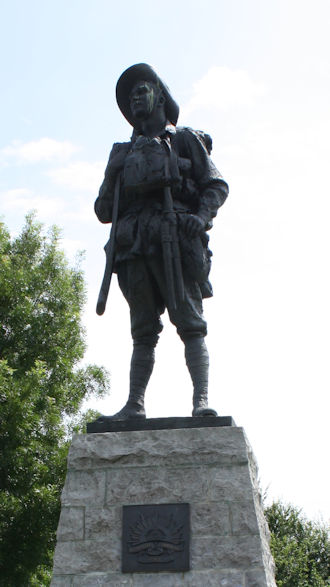
At Bullecourt, the ‘Digger’, stands in the Australian Memorial Park gazing out towards the enemy trenches which had cost so many Australian lives to capture.
Location
Go there on Google maps
(Latitude: 50.1944570 and Longitude: 2.9381130)
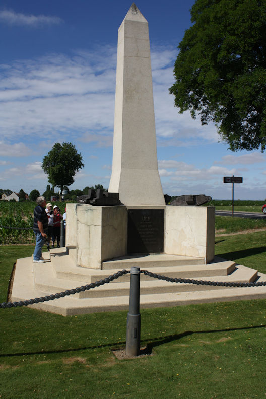
Contalmaison – The Tank Corp
Near this location on the Somme, tanks first went into action with the British Army as a new, surprise weapon against the German Army in the First World War.
Location
Go there on Google maps
(Latitude: 50.0446170 and Longitude: 2.7364004)
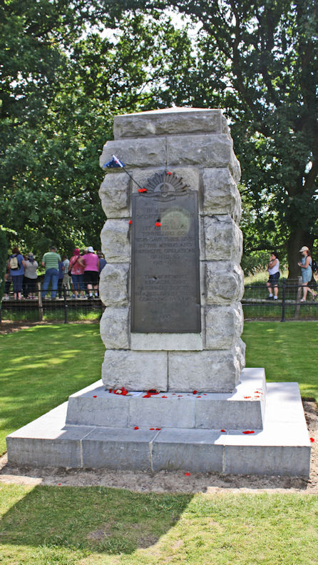
Hill 60, Zwarte-Leen – 1st Aust Tunnelling Co
The memorial commemorates the men of the 1st Australian Tunneling Company who gave their lives in the tunneling and defensive operations from 1915-1918 in this location.
Location
Go there on Google maps
(Latitude: 50.8241670 and Longitude: 2.9286110)
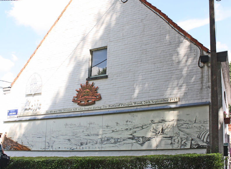
Café Johann – 4th & 5th Aust Div
Battle of Polygon Wood. The owner Johan ( John ) is passionate on the WW1 Polygone Wood history. He was part of the Digger Association and as a professional carpenter has made a lot of detailed drawings of WW1 dugouts, shelters and bunkers. He was also involved in recovering the "Zonnebeke five" remains of Australian troopers and the identification of 3 of them.
Location
Lange Dreve 10-16, 8980 Zonnebeke, Belgium
Go there on Google maps
(Latitude: 50.8543850 and Longitude: 2.9793340)
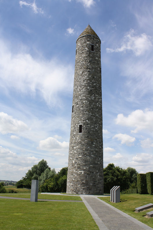
Mesen (Messines) – Island of Ireland Peace Park
The memorial site is dedicated to the soldiers of Ireland, of all political and religious beliefs, who died, were wounded or missing in the Great War of 1914-1918. Irish men and women served with the Armies of Australia, Britain, Canada, New Zealand, South Africa and the United States.
Location
Go there on Google maps
(Latitude: 50.7598310 and Longitude: 2.8946078)
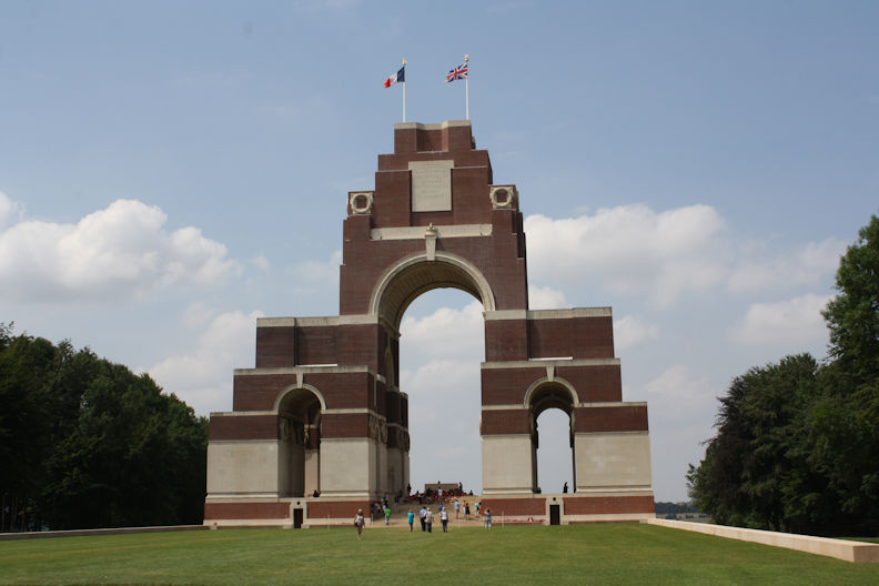
Thiepval Memorial – UK National Memorial
Thiepval Memorial contains more than 73,000 names of soldiers of the British Army who went ‘missing in action’ in the Somme region.
Location
Go there on Google maps
(Latitude: 50.0506080 and Longitude: 2.6855990)
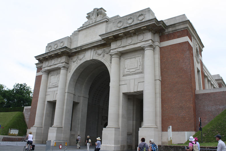
Ypres – Menin Gate Memorial
The Menin Gate is one of four memorials to the missing in Belgian Flanders which cover the area known as the Ypres Salient. Broadly speaking, the Salient stretched from Langemarck in the north to the northern edge in Ploegsteert Wood in the south, but it varied in area and shape throughout the war. It commemorates casualties from the forces of Australia, Canada, India, South Africa and United Kingdom who died in the Salient.
Location
Eastern side of town on road to Menin.
Go there on Google maps
(Latitude: 50.8521000 and Longitude: 2.8913800)
.jpg)
